Articles #Charleston in pdf
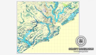
The Charleston, SC City Map offers an affordable medium-detail vector map of the greater metropolitan area in editable Illustrator or PDF format. Each individual layer can be individually edited or easily turned off, allowing the designer a great deal of flexibility to show or hide as much detail as is required by the project. See the sidebar for a complete list of features / layers available on this digital map.
Read More
