Articles
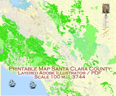
All of our editable Santa Clara vector maps are instantly downloadable digital files in either editable PDF or Adobe Illustrator format. Because each of our Santa Clara digital maps is available in the Adobe Illustrator or editable PDF format, both of which use a vector based approach to displaying images, you can easily zoom into any portion of our maps without any degradation in the quality of the text, lines and symbols of the map --- regardless of the magnification factor.
Read More
This San Luis Obispo Map with Roads, Highways & Zip Codes is a fully editable, layered Adobe Illustrator file. Adobe Illustrator files are vector format files, allowing for crisp, high-quality artwork at any magnification. All major map objects / features reside on their own layer. For a complete listing of objects/layers, refer to the list in the sidebar. Printable San Luis Obispo County, CA topographic maps, GPS coordinates, photos, & more for popular landmarks in San Luis Obispo County including San Luis Obispo, Atascadero, and Arroyo Grande.
Read More
The Charleston, SC City Map offers an affordable medium-detail vector map of the greater metropolitan area in editable Illustrator or PDF format. Each individual layer can be individually edited or easily turned off, allowing the designer a great deal of flexibility to show or hide as much detail as is required by the project. See the sidebar for a complete list of features / layers available on this digital map.
Read More