Charleston map, SC
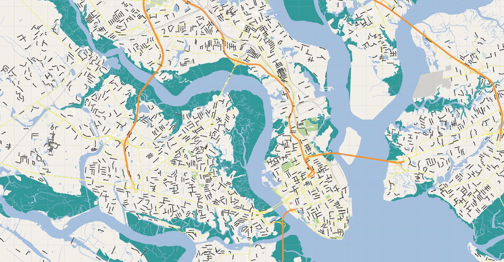
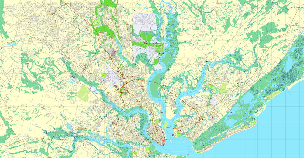
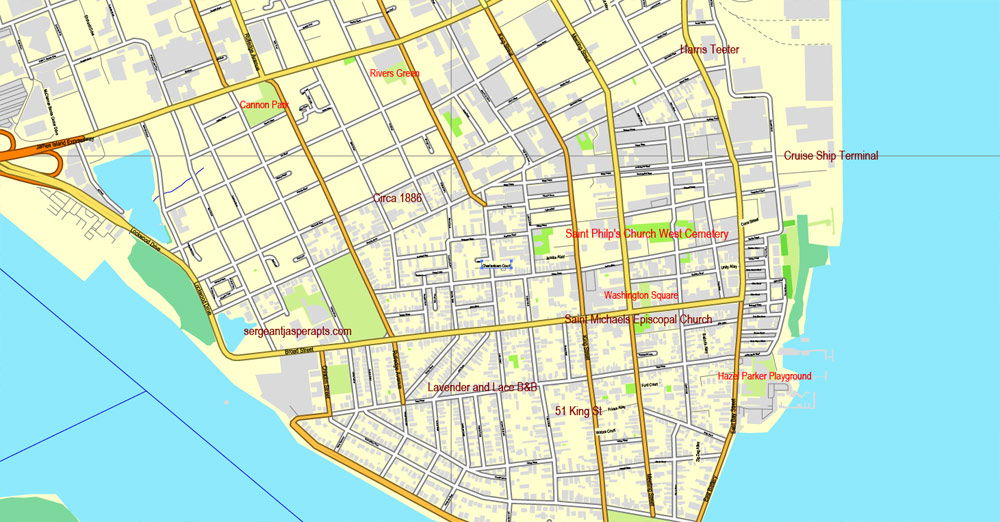
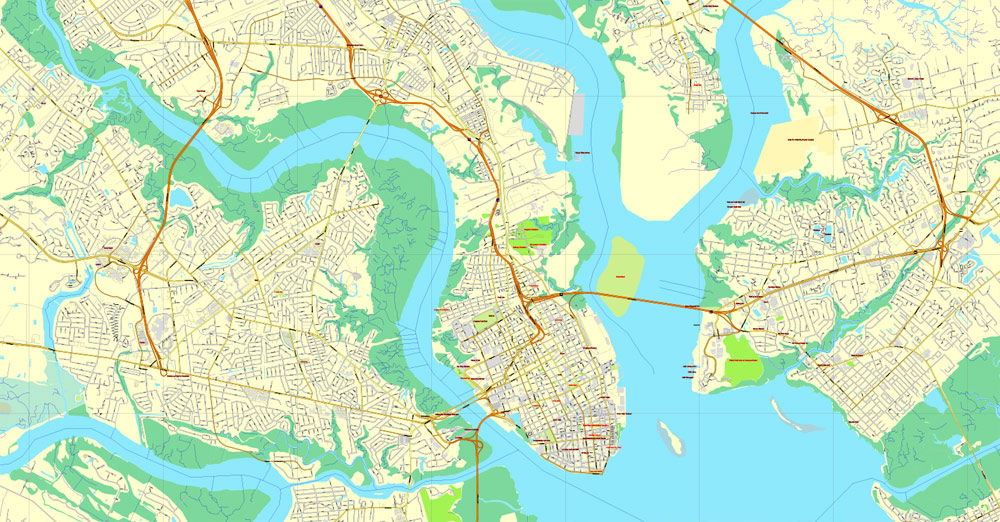
The Charleston, SC City Map offers an affordable medium-detail vector map of the greater metropolitan area in editable Illustrator or PDF format. Each individual layer can be individually edited or easily turned off, allowing the designer a great deal of flexibility to show or hide as much detail as is required by the project. See the sidebar for a complete list of features / layers available on this digital map. This Charleston, SC City Map also contains border outlines for the following neighboring cities: Charleston, Hanahan, Folly Beach, Isle of Palms, Mount Pleasant, North Charleston, Sullivan's Island
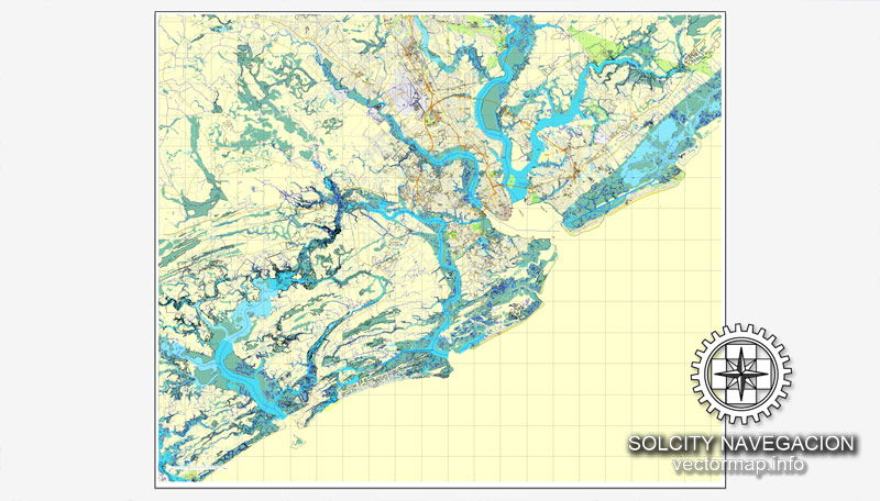
Additional Info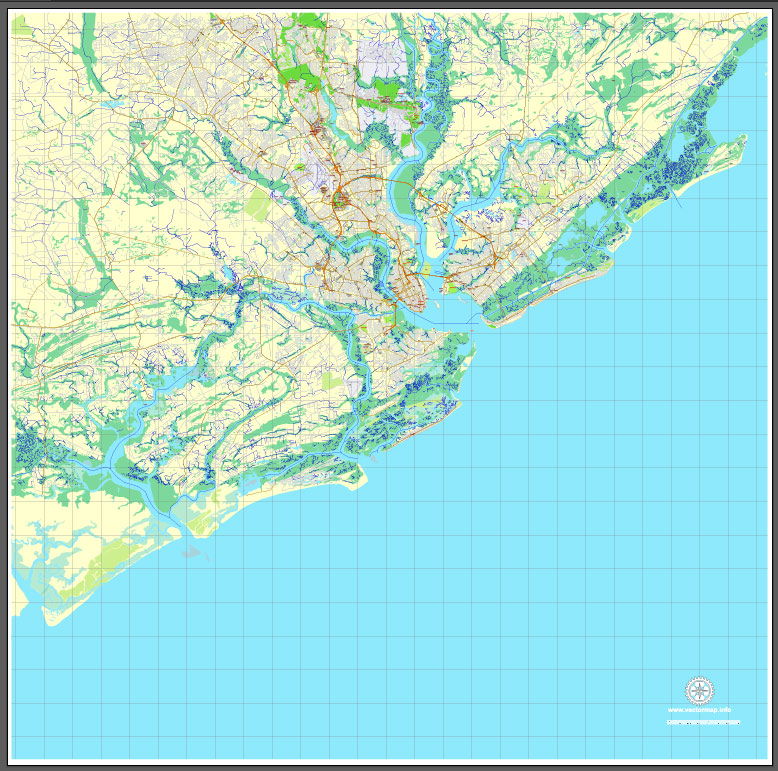 These blank city maps are made from government data sources. Data quality varies throughout the country due to different data sources. Some maps may have missing street lines, ownership borders, annexes, and label errors which we have no control over. Maps should be used for general overviews of cities, road networks, borders, and regions and not as a close-up representation of city streets. These maps have a resolution of 300 dpi so it is suggested that no more than a 200-300% zoom be used, since major distortion will show at greater zoom levels.Charleston map. Digital Maps Online. Adobe Illustrator .AI EPS Vector files from our Netmaps database. Charleston map
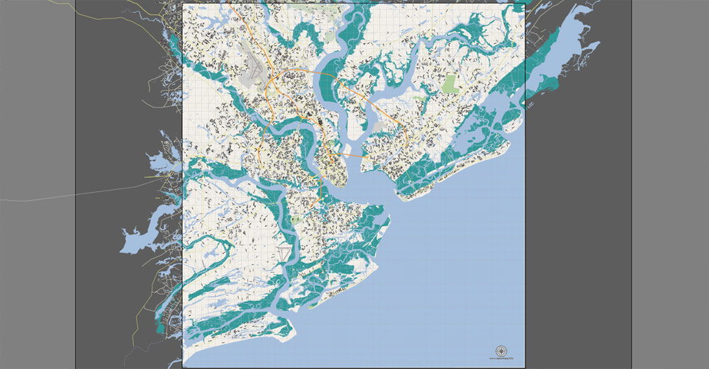 This map is also delivered as a fully-editable Adobe PDF map file. This raw PDF file can be opened using the free Adobe Reader software, which allows you to zoom into any portion of the map while maintaining crisp lines and text at any level of magnification. All of our Adobe PDF map files can be easily incorporated into a wide range of other software products, such as Microsoft Word and PowerPoint, as well as Adobe Photoshop and Illustrator. Our PDF maps are also 100% editable in Illustrator 10 and higher, allowing you to select and edit any object on the map (such as state/county/country boundaries, road lines, map symbols, text, etc.). All major map objects reside on their own intuitively labeled layers, allowing you to easily show/hide, edit and delete each main map object. For a complete list of features/layers, refer to the list in the sidebar
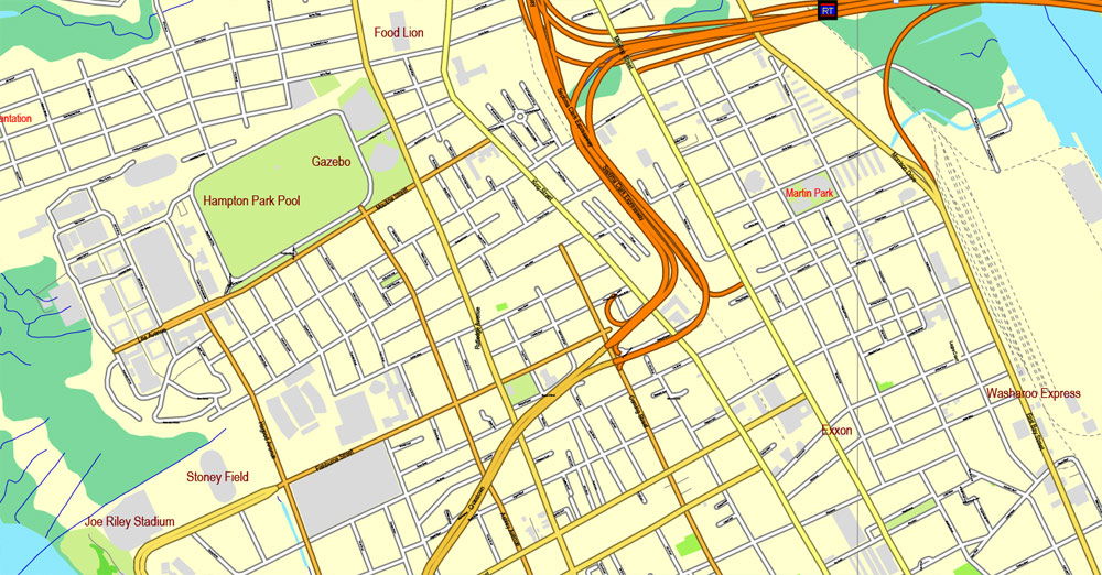
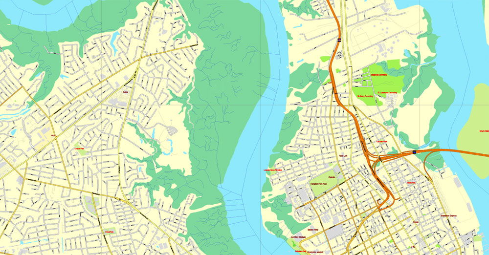
Features / Layers on This Map
Border & Scale
Text
Railroad / Rail Lines
Highways (not labeled)
Roads (road names are *not* labeled)
Hydro / Water Casings
Water Features
Landmark Fill
City Borders
National Park Borders
County Borders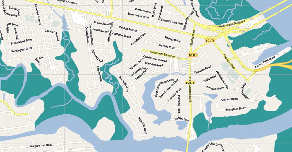 The Only Map Guide You’ll Need
The easiest map to read, and the most informative
Plus, Coupons
The Map includes coupons for just about anything you will want to do during your stay. From dining, to tours, to attractions, to shopping- you can find a discount to suit your fancy.
We’ve Got It Covered Charleston Gateway Map Guide includes maps from the surrounding Charleston, SC area including:
Charleston
North Charleston
Downtown Charleston
Mount Pleasant
Daniel Island
Summerville
Sullivan’s Island
Isle of Palms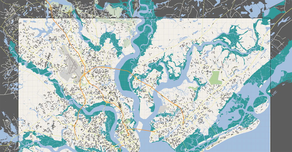 The Charleston County Geographical Information System (GIS) is part of the Technology Services Department. The GIS division is responsible for the development and management of the County's spatial database while providing data services to County departments, local businesses and governments.