Articles #San Luis Obispo CA detailed map
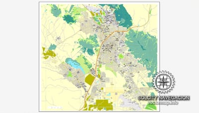
This San Luis Obispo Map with Roads, Highways & Zip Codes is a fully editable, layered Adobe Illustrator file. Adobe Illustrator files are vector format files, allowing for crisp, high-quality artwork at any magnification. All major map objects / features reside on their own layer. For a complete listing of objects/layers, refer to the list in the sidebar. Printable San Luis Obispo County, CA topographic maps, GPS coordinates, photos, & more for popular landmarks in San Luis Obispo County including San Luis Obispo, Atascadero, and Arroyo Grande.
Read More